
Search QR Codes…My ICQR
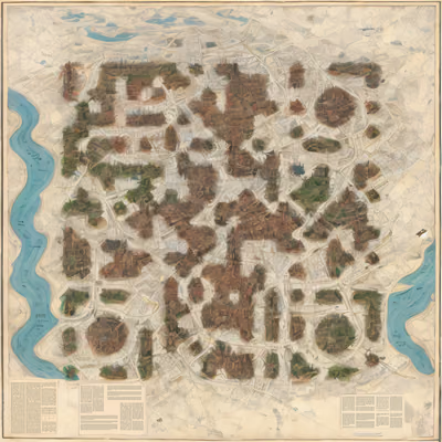
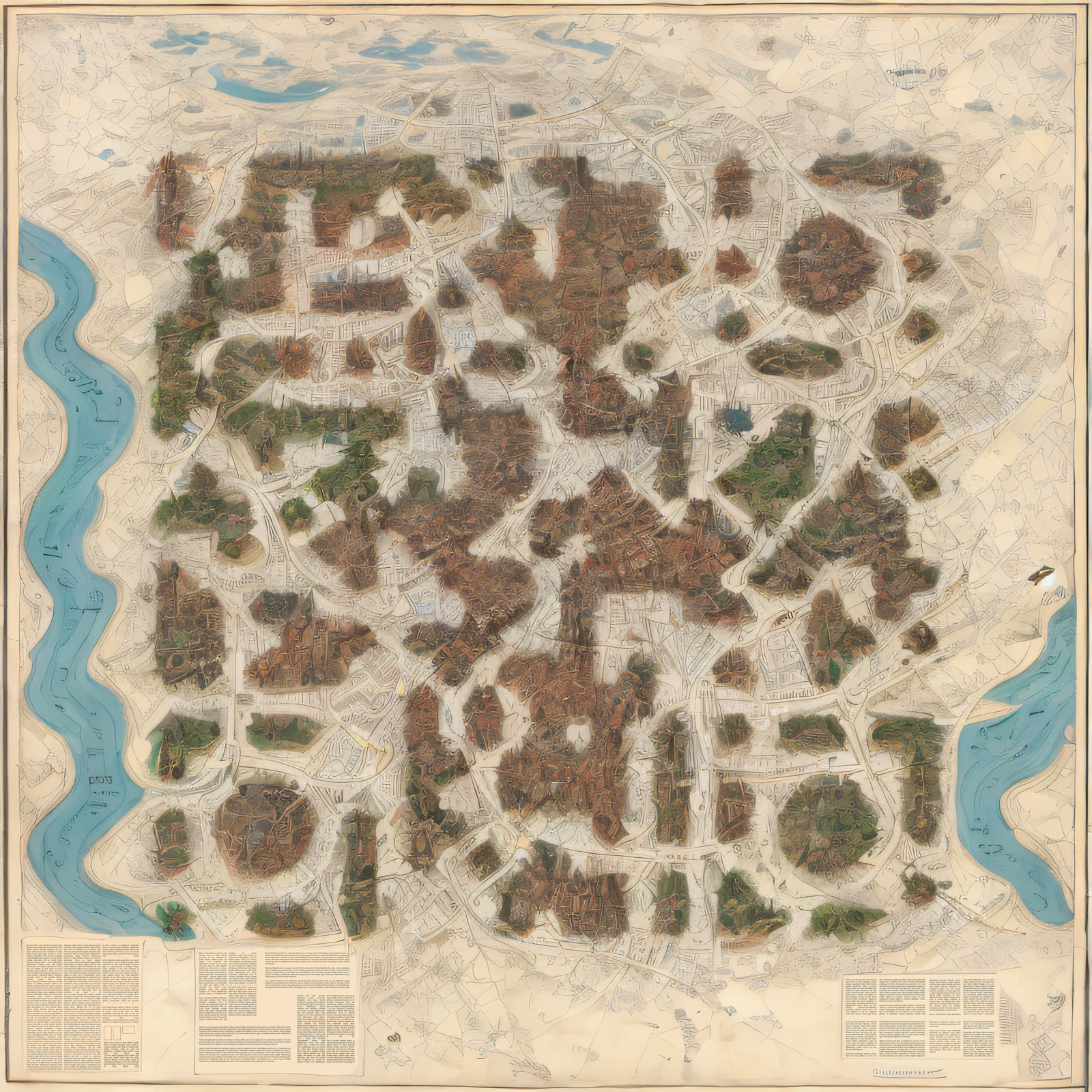
An aerial map of a river city drawn on aged cream paper, with a winding blue river running down the left edge and a second waterway entering at the right. Dense brown rooftop blocks and green park patches form the dark modules, while fine street lines and pale paper fill the light areas. Clusters of buildings and circular plazas disguise the finder squares, so they read as part of the town plan. Small text columns along the bottom edge add to the antique atlas look.