
Search QR Codes…My ICQR
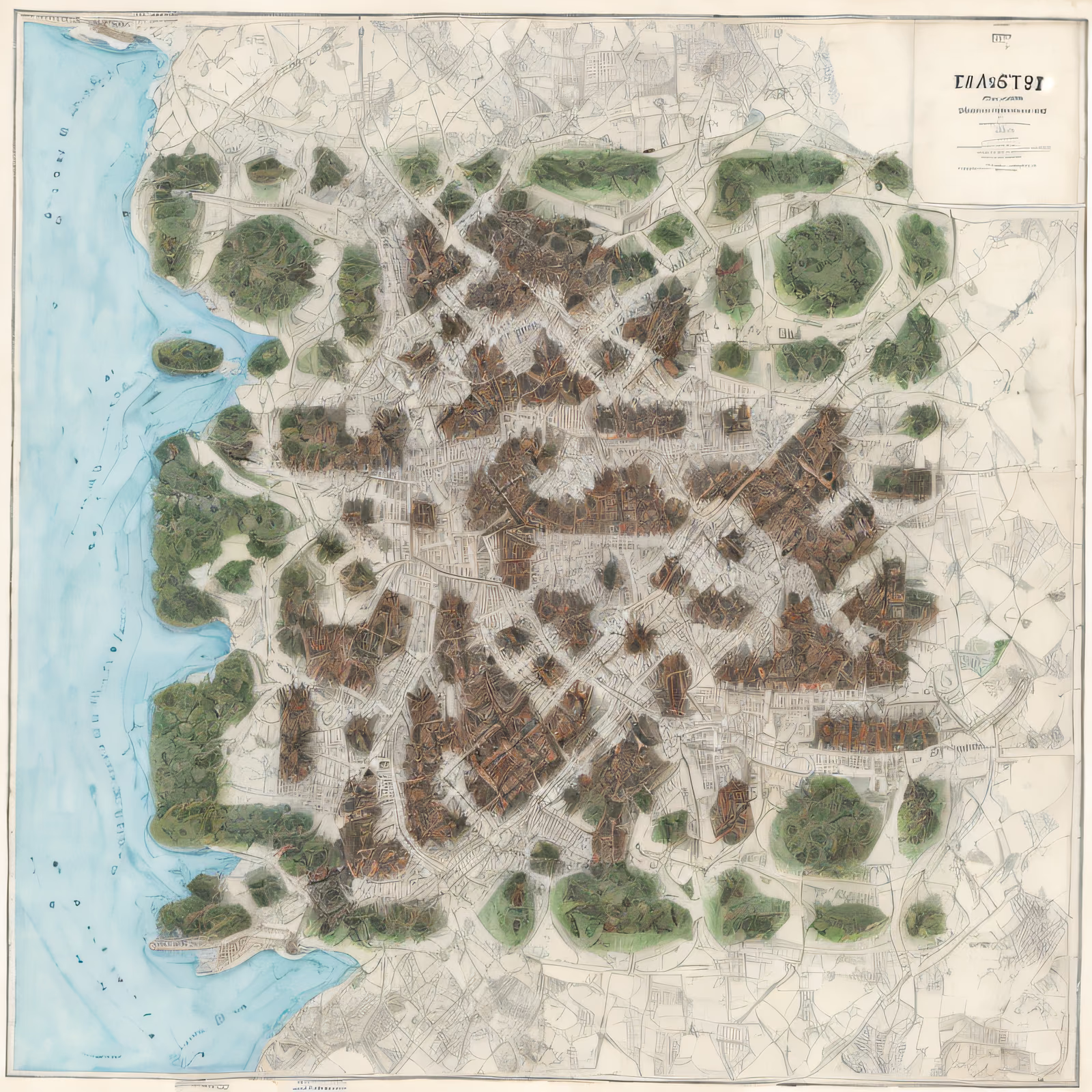
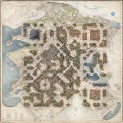
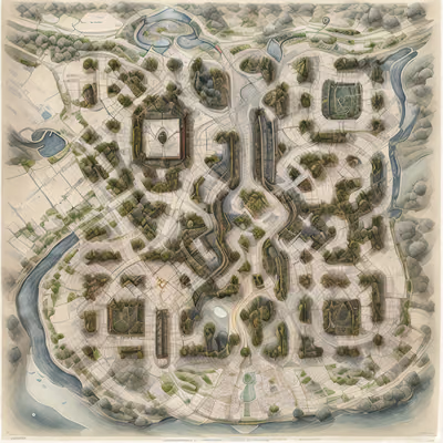
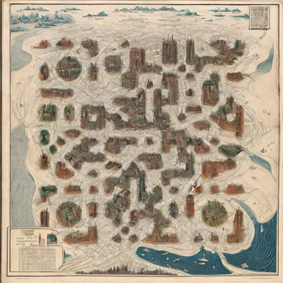
An aerial city map from the 19th century, drawn on cream paper with a pale blue coastline down one side. Clusters of brown rooftops and round green tree stands sit between fine ink streets, and a small title cartouche fills the upper right. The finder squares are hidden inside dense building blocks and wooded patches, while the street lines and rooftop clusters carry the modules. Dark brown and green masses against the light paper keep the pattern readable across the whole sheet.